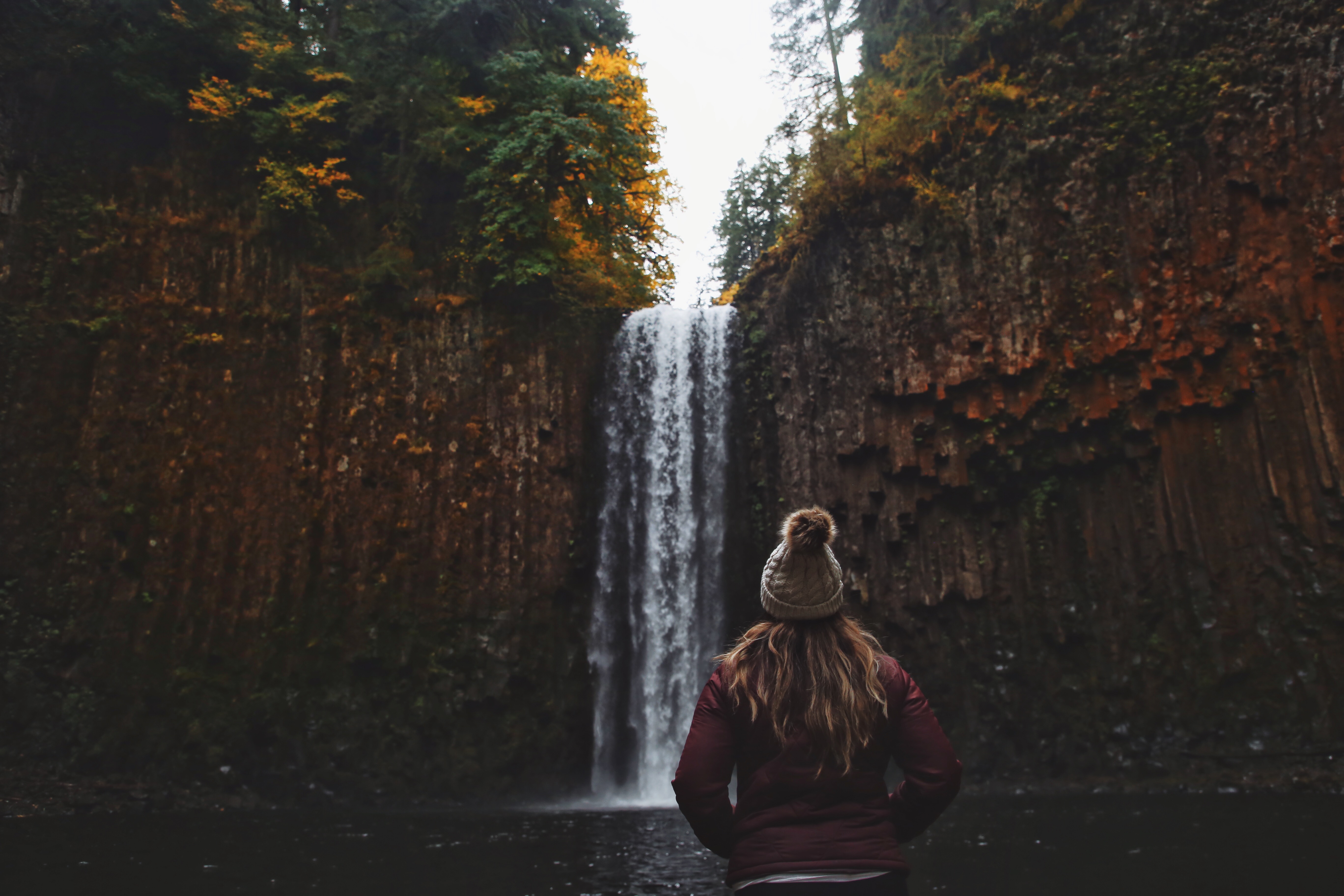
Abiqua Falls is a gem you don’t want to miss if you’re visiting Oregon. It’s located in Scott Mills, a small town an hour east of Salem. The waterfalls can be a bit challenging to get to. The road conditions to the trailhead is very treacherous. There is a lot of gravel and pot holes. And after rainfall, which happens often in Oregon, it can get extra muddy and the pot holes get filled with water. I highly recommend using a high clearance or 4WD vehicle if you’re planning to drive all the way to trailhead. We managed to get a quarter of a mile into the dirt road in a our small KIA before pulling into a dirt pile lot on the right side. If you do have high clearance vehicle that can get to the bottom of the hill, there are only a few spots for parking at the start of the trailhead.
The exact coordinates of the trailhead is 44.929454″N, -122.563824″W. From Salem, take OR-213 N. You will pass through Silverton. Take a right on Mt Angel Scott Mills Road NE. Continue on 3rd St. for 0.5 mile. Take a right on Crooked Finger Road NE for 10 miles. Take another right in 1 mile and you’ll start to travel on the gravel road that leads to the trailhead.
From the top of the hill, the hike is 5.3 miles in and out. The first few miles is going down the gravel road and the last mile is on the actual trail. The trail is on private property so there are no signs directing you to the trailhead. Keep a lookout for a black and white sign on a tree that says “Abbey Foundation of Oregon” and another sign above it explaining that the property is private but accessible for public recreational use. The sign will be on your left side. The start of the trail is right after the sign.
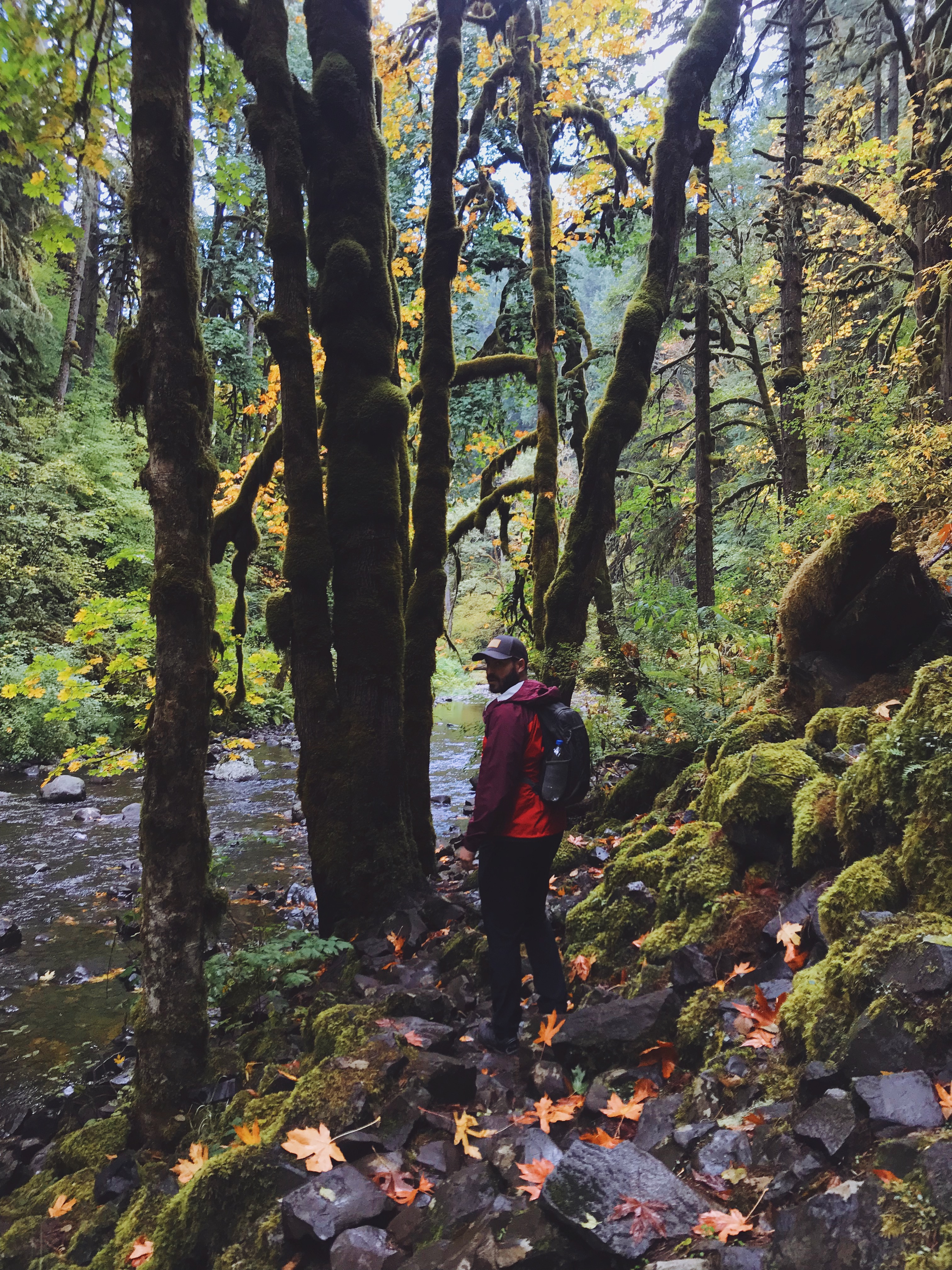
Once you start on the trail, almost instantly you’ll see a small fall tree trunk going over a narrow, yet well traveled trail. THIS IS NOT THE TRAIL. Pass this trail and continue one. You will then come across a fork in the trail. GO TO THE LEFT. There is a fallen tree trunk on this trail. Once you’re on this trail, it’s a straight shot to the waterfall. The trail is really steep, so hiking shoes with traction is a MUST. The trail eventually leads to the river. Where the trail ends and the trek along the river starts, there is a fallen tree with ropes on both sides of the tree to help guide you down to the river.
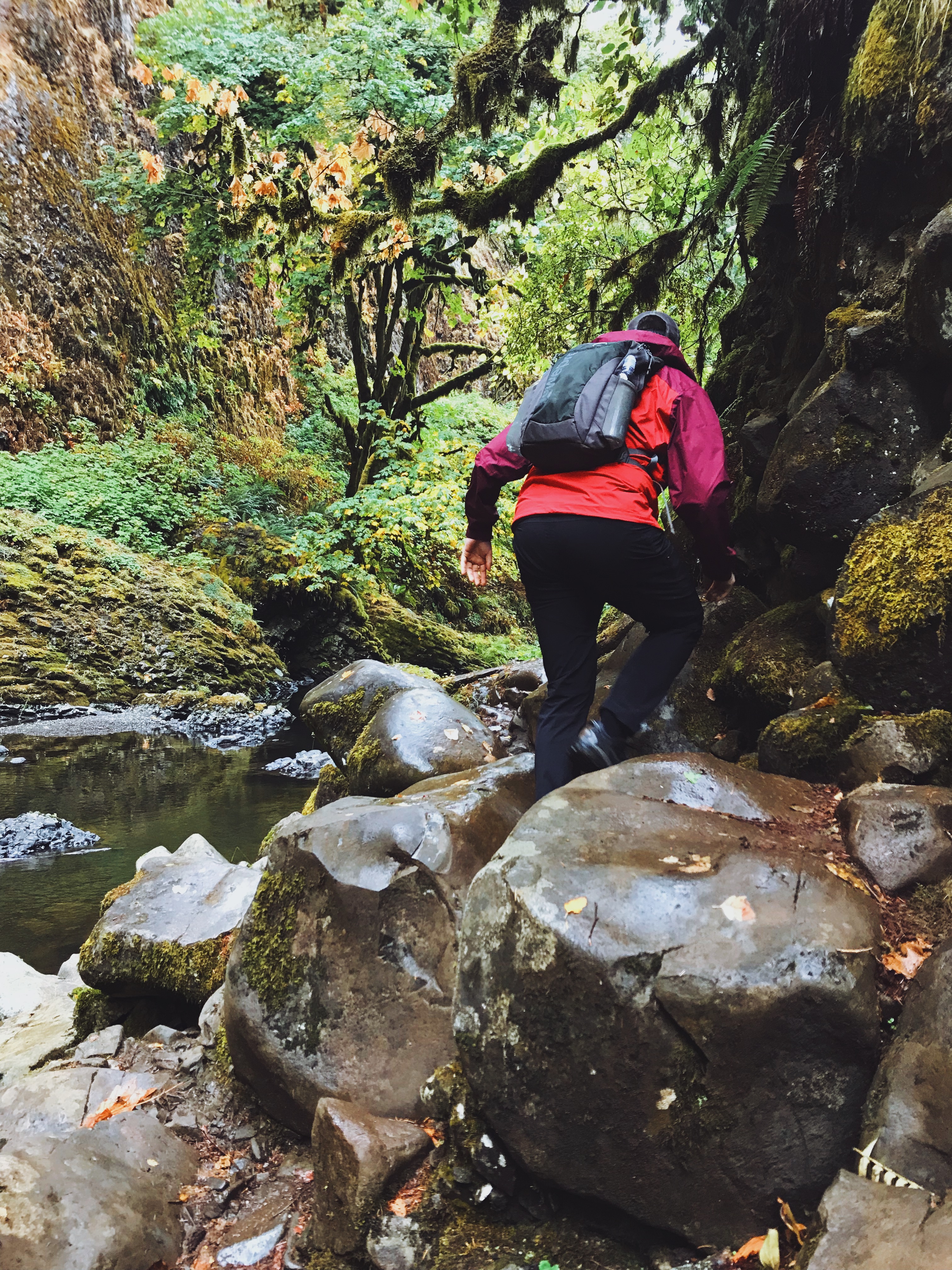
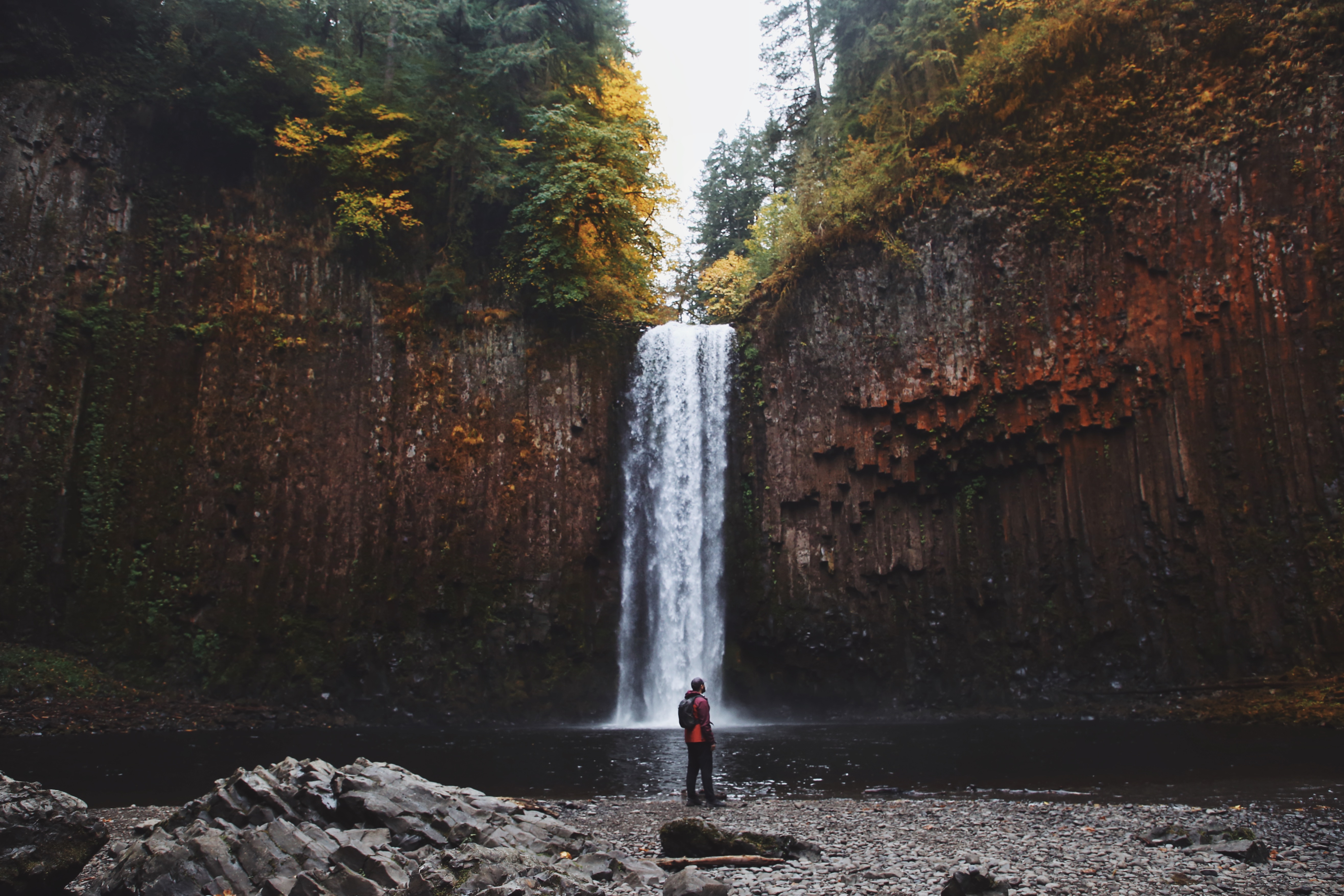
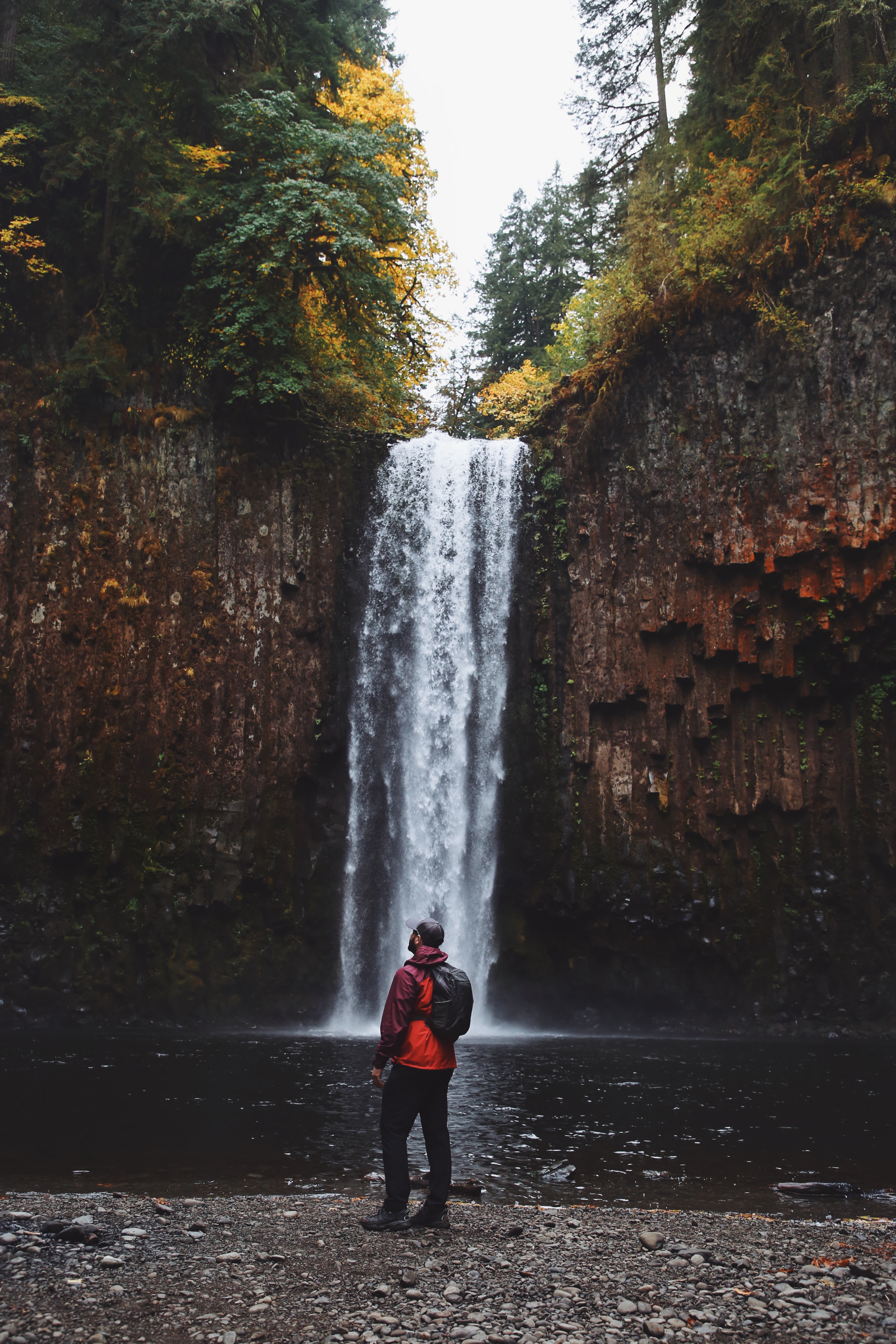
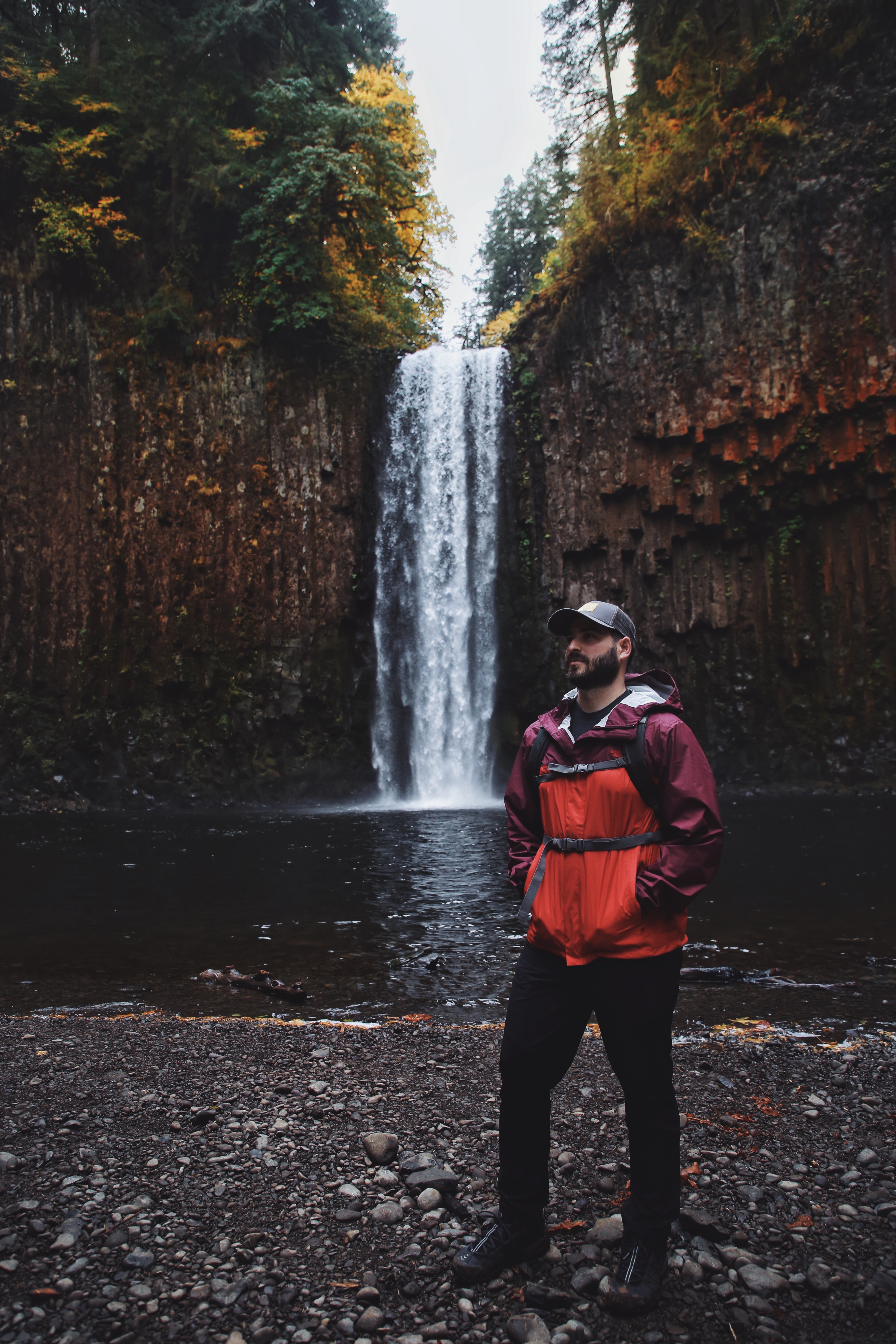
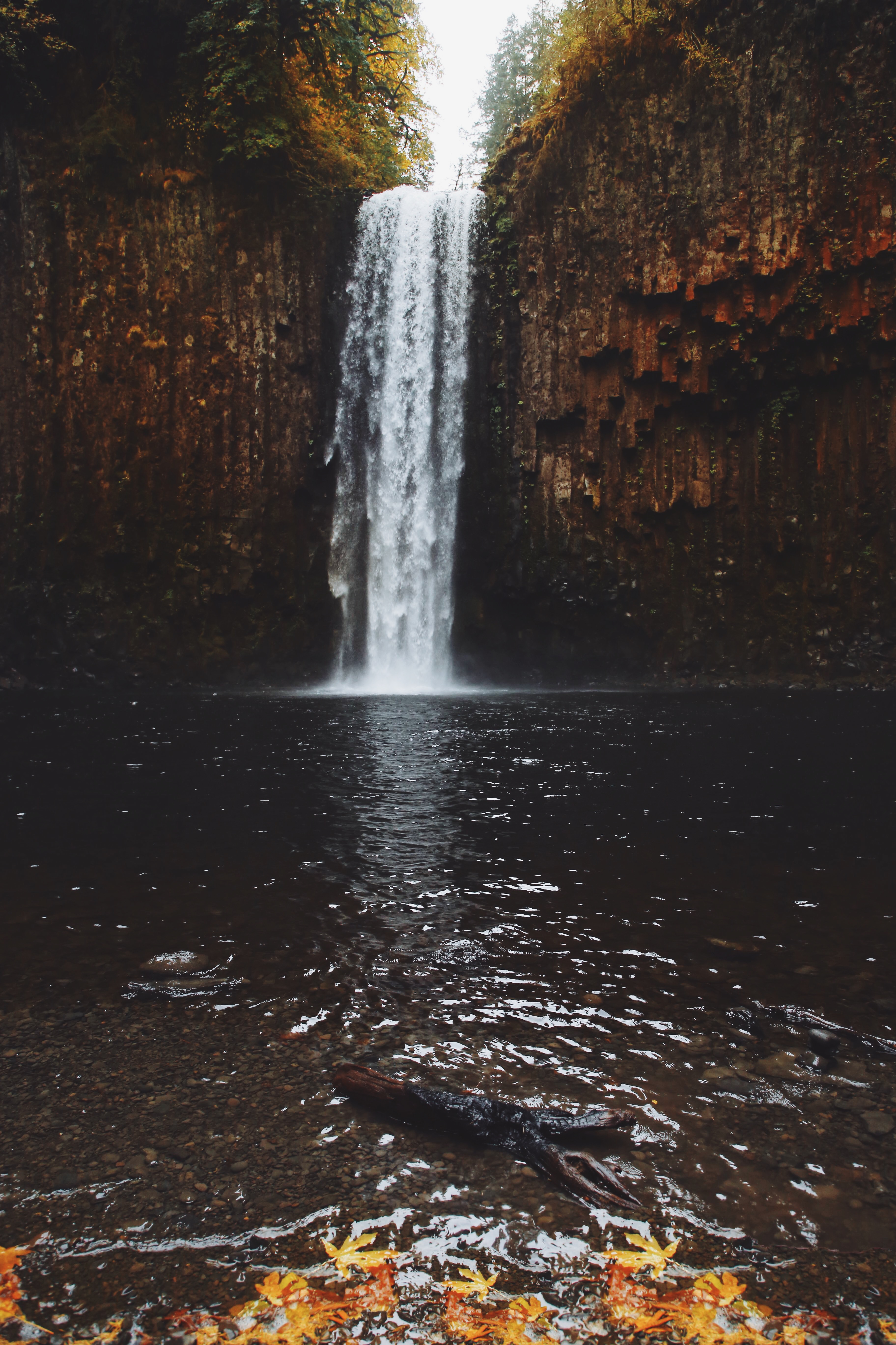
Once you’ve got your feet on the riverbank, travel on the left side of the river. There are large boulders and fallen trees you will have to climb over as you travel up the river. But don’t fret, the journey up the river is short. You’ll eventually approach a rock wall. Turn the corner at this rock wall and you’ll witness the most amazing view.





Leave a Reply